At DroneHance Solutions, we are a North Carolina-based drone photography and videography company specializing in automated course solutions. As an Air Force veteran, I founded this company to bring a unique blend of mission-critical precision, meticulous attention to detail, and entrepreneurial drive to the way physical spaces are measured and managed.

My foundation includes six years of service as a laboratory technician in the Air Force, where I honed an unwavering attention to detail. This discipline, combined with my professional experience as a call center director and instructor, cultivated our core commitment: clear communication and efficient execution.
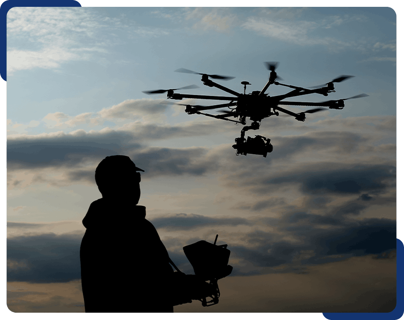
The inspiration for DroneHance Solutions came from a personal challenge. When my father and his siblings inherited a landlocked property with impossible traditional access, I found myself wondering how to gain a clear view of the land. It was then that the idea of using a drone took root—I realized a custom-mapped aerial perspective was the perfect solution.

Intrigued by the possibilities, I immersed myself in the world of drone technology. I completed a rigorous three-day course, passed my FAA Part 107 exam, and dedicated myself to building DroneHance Solutions. What began as a personal quest to visualize a family property has evolved into a passion for providing unique, data-rich aerial perspectives to a wide range of clients.

Through thousands of successful missions across diverse fields—from compelling real estate listings to the complex analysis of dilapidated properties—our team realized that the “gold standard” of course management was still relying on an outdated methodology: “gut feel”.

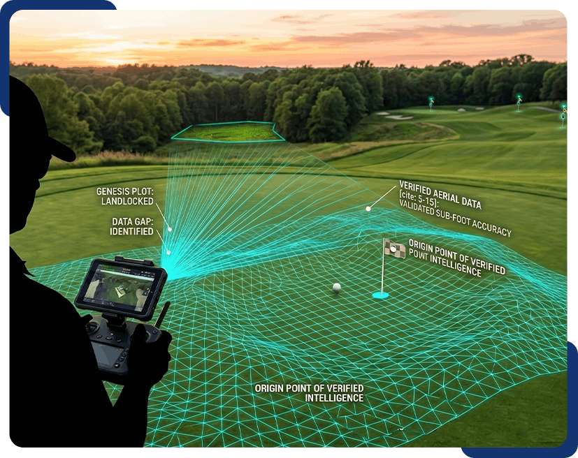
We saw that the game’s most important target had no voice. This insight led us to stop asking if a hole could be mapped and start asking why the hole couldn’t tell us where it was. That question became FlagMate™, our flagship technology solution.

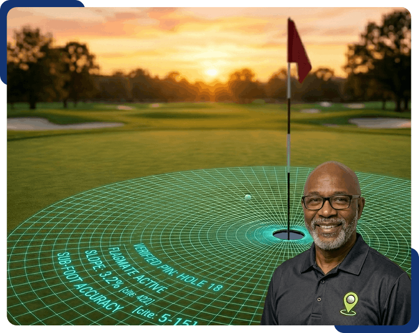
Powered by our proprietary PARS Framework (Prepare, Aerial Reconnaissance, Record, and Synchronize), we no longer just capture stunning visuals; we deliver verified, actionable intelligence. FlagMate™ empowers course owners to optimize maintenance and gives golfers a strategic advantage by assigning every pin a verified digital address with validated sub-foot accuracy.

Let DroneHance Solutions bring precision and high-quality aerial visuals to your next project. Get in touch today and let’s discuss how we can help you stand out.

Get a Quote